
hartono
Legendary Member

- Messages
- 17,047
- Joined
- Jun 26, 2012
- Messages
- 17,047
- Reaction score
- 2
- Points
- 125
Indonesia urges more satellite use to combat forest and land fires
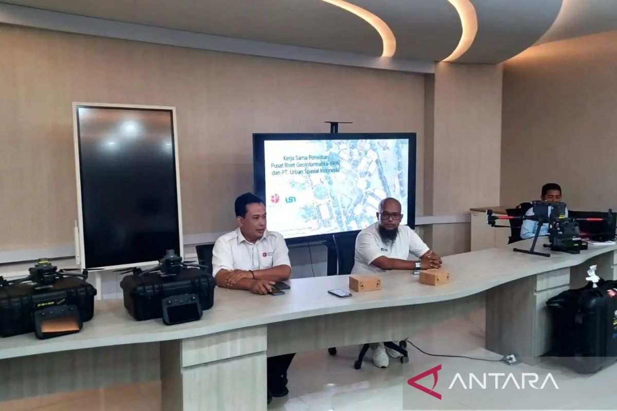
Indonesia's National Research and Innovation Agency (BRIN) is urging wider use of satellite and geoinformatics technology to detect and tackle forest and land fires, according to Rokhis Khomarudin, head of BRIN's Geoinformatics Research Center (left). ANTARA/HO-BRIN
Jakarta (ANTARA) - Indonesia's National Research and Innovation Agency (BRIN) is urging wider use of satellite and geoinformatics technology to detect and tackle forest and land fires, officials said Wednesday.
Rokhis Khomarudin, head of BRIN's Geoinformatics Research Center, said geoinformatics technology plays a crucial role in managing forest and land fires.
Its first role is to serve as an early warning system based on weather prediction models, he said.
“We can develop daily fire-weather and drought-risk indexes to predict fire risks before they occur,” Rokhis said.
The climate monitoring model has been developed and is now fully operated by Indonesia's Meteorology, Climatology, and Geophysics Agency (BMKG), he said.
The second role is to monitor fire indicators through hotspot tracking. Satellite technology can detect daily hotspots across Indonesia, helping identify areas at potential risk of fire, Rokhis said.
To promote data transparency public access, BRIN has also provided a free, web-based digital monitoring platform.
The third role of geoinformatics is to estimate and map burned forest areas. Rokhis said the analysis uses high-resolution satellite imagery from Landsat and Sentinel-1 and Sentinel-2.
The resulting estimates of fire-affected areas are submitted monthly to the Forestry Ministry, the government authority responsible for forest management.
Agus Yasin, head of public information services at the Forestry Ministry, said daily satellite hotspot data were crucial as an early warning tool.
However, he stressed that all hotspot data must be followed by accurate field verification.
The ministry uses thermal drones and remote surveillance cameras to determine whether detected hotspots represent actual fires, as materials such as metal roofs can also trigger satellite detections.
“For example, is a hotspot really a fire, or just heat? In Sumatra and Kalimantan, many homes have metal roofs, which can sometimes be detected as hotspots,” Agus said.
Indonesia urges more satellite use to combat forest and land fires
Indonesia's National Research and Innovation Agency (BRIN) is urging wider use of satellite and geoinformatics technology to detect and tackle forest and ...
 en.antaranews.com


